Winchcombe Isbourne Accessible Path

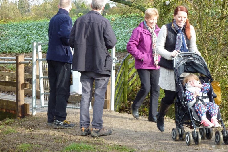
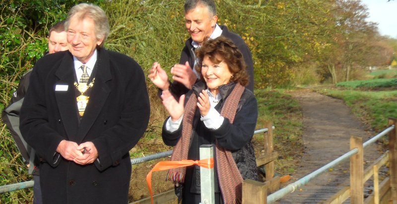
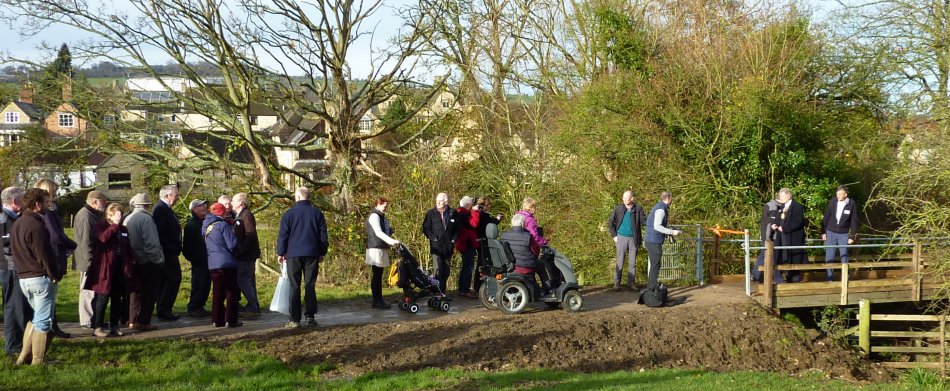
isbournepath950Grand opening of the path today

Congratulations Rob, Sheila and all involved with Winchcombe Walkers are Welcome for making this happen. As well as being available to parents with buggies & anyone less able to walk, it gives great views for visitors to the town. We’re grateful to be able to support the project using a legacy from Lilian Wise of Churchdown.
It made the Echo!
http://www.gloucestershireecho.co.uk/Winchcombe-really-welcomes-walkers-opens-new/story-24646873-detail/story.html

Winchcombe Walkers are Welcome


buggy800

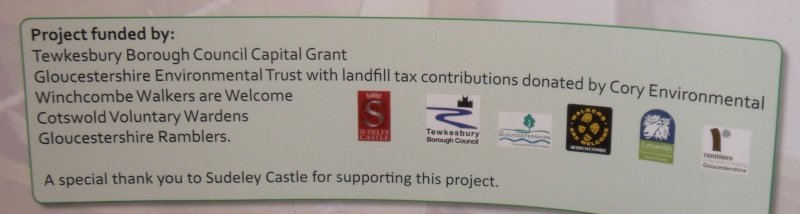
isbournesponsors isbourneclap

Cotswold Way Beginning & End Stone at Chipping Campden

Chipcamstoneb950Chipcamstone950

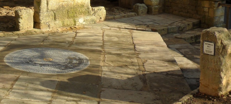
Ramblers in Gloucestershire have had a long association with the Cotswold Way. When we learned that plans were afoot for a marker stone in the Market Square, highlighting many of the towns and villages along the way, we naturally felt we should be involved. Such a stone doesn’t come cheap, so together with Central Office we’ve pledged support from our Waymarker fund. (Although at 1.4metres diameter it’s slightly larger than a standard marker!)T

The project is to allow walkers travelling the route to feel they’ve reached a start or finish point. There is already a similar stone in Bath. The unveiling ceremony was at Noon Saturday 8th November and details of the Stone are here CCflyer v5

At the same time the old beginning end marker stone was relocated as can be seen

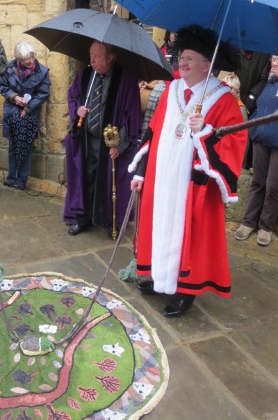
After a very wet walk from Dovers Hill led by the Cotswold Way Wardens, the Chipping Campden Mayor performed the unveiling ceremony

CCmayor

Cirencester 40th Anniversary walk and Strawberry Tea

cirenstea1024

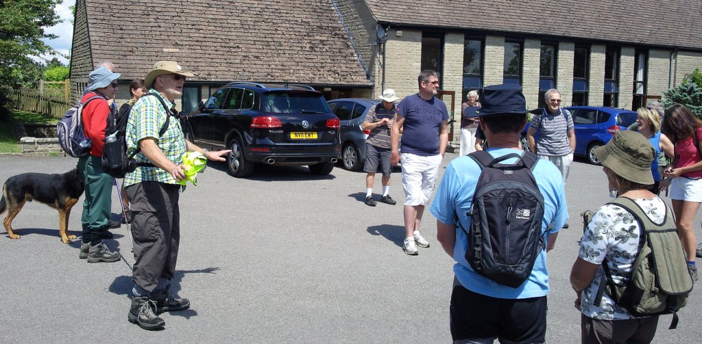
Cirencester Group began their Strawberry Tea celebrations with a walk around Chedworth led by the inimitable Mike Bailey!

Benedict Southworth dropped in from Ramblers Central Office & previous chair Stuart Dyer in full flow 🙂

More over on Cirencester’s  website

Gloucestershire Ramblers & Ordnance Survey

moversWhen out walking and finding our way in the countryside many of us use an OS (Ordnance Survey) map. cirenswindonOSHowever sometimes we might find that the map doesn’t quite show what is on the ground.

To try to ensure future maps are as correct as they can be for walking, OS asked Gloucestershire Ramblers to work with them to set up a new project. Developed by our Footpath Secretaries this unique UK pilot allows any GR member to report mapping errors and since April the seven Gloucestershire Ramblers OS Contacts have been submitting issues directly to OS.

While changes to buildings, roads, or new housing estates (such as shown above) will typically be reported by Planning Agencies, the types of updates GR members could report may include missing field boundaries, woods that have matured or felled, new farm tracks, public houses shown on maps that have closed, or any other difference between what is on the ground and what is shown on the map.

Other footpath issues should continue to be made to the local footpath secretary

As another element to this project, OS would like suggestions for features that are currently not included or shown on maps. OS have asked that as a walking organisation we may have suggestions for additional ‘nice walkerscarparkto have’ information.

This innovative project should help ensure accuracy of local maps and in the longer term, if it proves to be a success in Gloucestershire, there is an expectation that it will be rolled out across the country.

For further information please contact Richard Holmes, Footpath Secretary, Cirencester Ramblers
or Jill Byrne, Gloucestershire Area Footpath Secretary, footpaths@gloucestershireramblers.org.uk

Ramblers give support to A417 loop

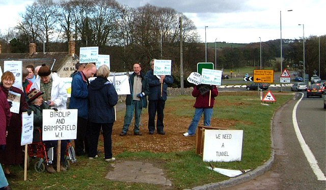
placardsBack in 2004 Local ramblers were campaigning to improve crossing points for walkers near the Air Balloon roundabout.

Ramblers in Gloucestershire support an A417 loop

Continue reading