
Under Construction
The Severn Way is a 220 mile walking route. It begins 15 miles north east of Aberystwyth at the source of the river (SN 823900 ) near Plynlimon (Peak 752m SN 789 869 ) in the Cambrian Mountains, continues to the Severn Estuary and eventually along the Avon to Bristol.
 The above map image is from the Long Distance Walkers Association web page of the route
https://www.ldwa.org.uk/ldp/members/show_path.php?path_name=Severn+Way
Wikipedia https://en.wikipedia.org/wiki/Severn_Way
 The Beginnings
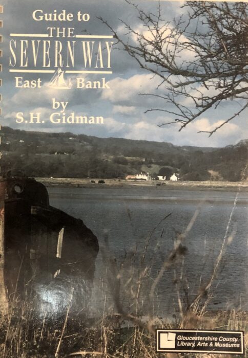
The Severn Way was officially opened during Easter 1989, as a 50 mile route from Tewkesbury in the north heading south past Gloucester and Berkeley to Shepperdine just into the then County of Avon. Gloucestershire County Library Service published a Guide by Stan Gidman to the Severn Way East Bank. The west bank path was to be completed later that year.
Flooding
The Severn can flood once or twice a year, bursting its banks and spreading out over nearby farmland, footpaths and roads. As it’s a regular occurrence, most houses in the food plain have suitable protection measures in place.
Tidal Waters
The Severn is tidal up to the Maismore and Llanthony Weirs at Gloucester. However it should be noted that the river has one of the highest tidal ranges in the world fom low level to high level and varies throughout the year. The weirs are only designed to hold the upstream waters level for most of the tidal range. During spring tides or when sea levels are high, the weirs can be over topped. The recent chart below, from the Environment Agency monitoring station at Sandhurst, illustrates that in certain conditions the waters can peak twice per day. Beware that it can cover the path where it is close to the river.

East or West Bank?