A417 Missing Link at the Air Balloon HE October 2020 Update
Project Timeline (Images courtesy Highways England and Google Earth.)

0:0 Video opening page
0:28 Below
Green = Missing Crossings for footpaths bridleways and tracks.
Retention of crossings should help wildlife as well as walkers.
Orange = crossings with an off-line alternative (see later), Pink = gaps in local road connections.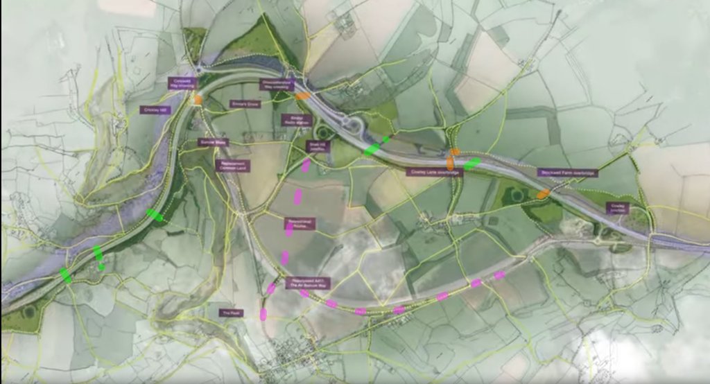 0:45 Below Green = Missing Bridleway crossing ABA125

0:53 Below Missing footpath crossing ABA84

1:02 Below Bat underpass – the new A417 has a steeper gradient than present and gaining height
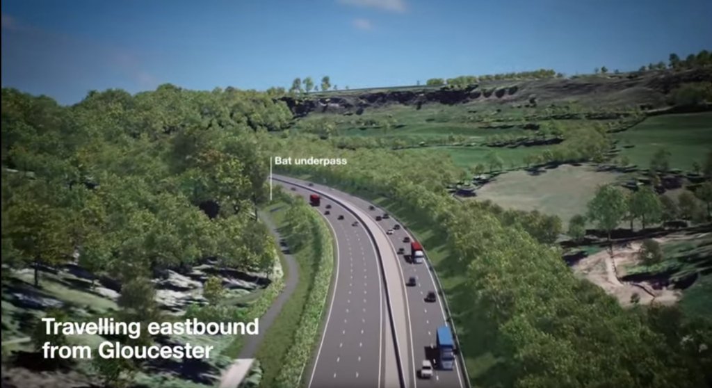
1:03 Below Footpath ABA86 passes through here. The road is now elevated.
The path could share with the bat tunnel above.
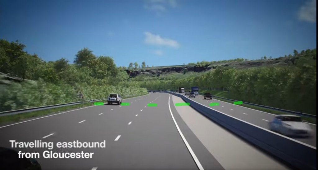 An example below shows the Bridleway underpass at Gloucester Beeches just east of Cowley junction. Perhaps more use could be made of spare Cotswold Stone.
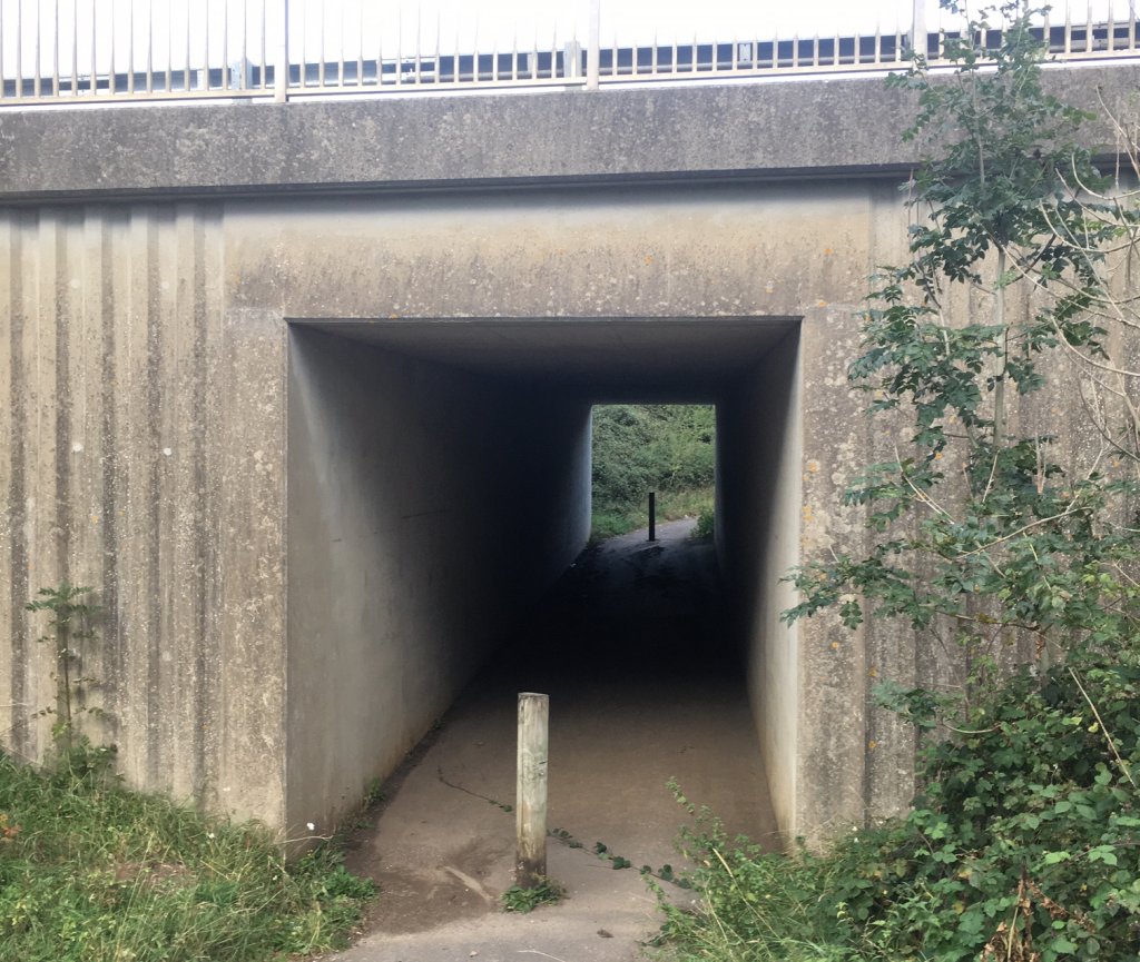
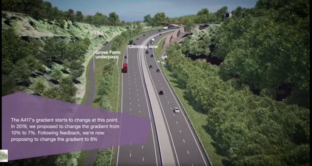
1:25 Below. Underpass at Grove Farm used for a Bridleway ABA87 and footpath ABA89
They’ve increased all the gradient to 8% to raise the new road here.
Notice the walking, cycling and horseriding path kept alongside the road all the way from Bentham to the Air Balloon.
1:38 Below. The proposed Boomerang bridge. Let’s see if they can keep the Air Balloon there instead
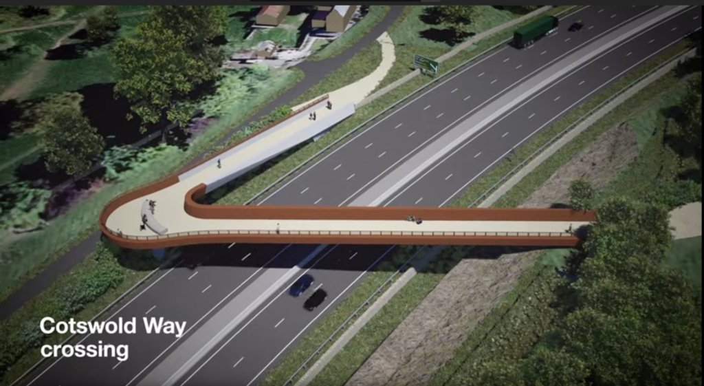
1:58 Below. The Boomerang bridge from another angle

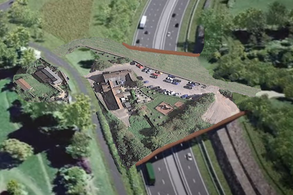
1:58 Below Artist’s Impression filling in the rest of the bridge saving the Air Balloon and keeping the Cotswold Way on its current line along the grass the other side.
 Images courtesy Highways England and Google Earth.
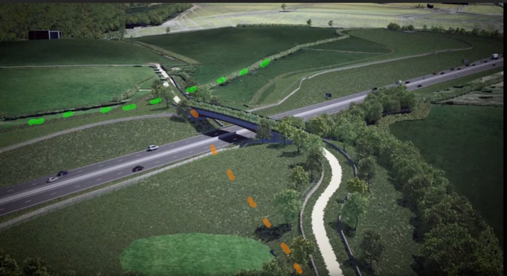
1:30 Below. A narrower than previous, mixed use green bridge before Shab Hill junction for the Gloucestershire Way. It’s off line for the current routes marked in orange . The trees to the right are new and may block views to the west currently over open fields

3:00 Below Missing crossing south of the Shab Hill junction. Circular walks from Crickley Hill and Barrow Wake pass through here. Those might be false embankments either side of the road. Lowering it by a few metres could allow another combined bridge.

3:36 Below. There is an historic avenue of Lime trees here indicated by the Orange dashes. Lowering the new road by a few metres could allow the avenue to remain in place. Instead a new avenue is being offered.
The proposal also buries the vintage hedgerow alongside restricted byway ACY26 and diverts it.
Lowering the road could keep the layout much the same.
 3:41 Below just further along Missing Restricted Byway ACY36 is also visible.
It’s a pity they havent decided to make the Overbridge a part of the Lime Tree Avenue.

4:11 Below Again keeping the new road lower in the landscape might allow the bridge to remain on the orange line and avoid burying ACY26( shown in green) with an enbankment.