
© https://www.themodernantiquarian.com/site/11656/emmas_grove.html
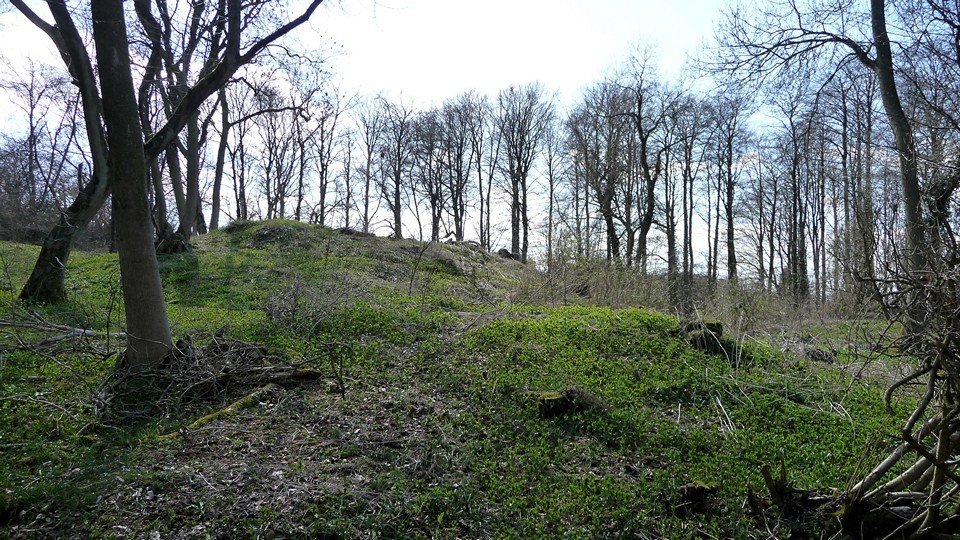
Large Barrow forming the centre crest, smaller barrow to the right foreground.
The monument includes three bowl barrows, known as Emma’s Grove round barrows, situated below the crest of a hill in the Cotswolds.
They’re in woods just to the south of the Air Balloon across the A417 on the Gloucestershire Way.
Bowl barrows, the most numerous form of round barrow, are funerary monuments dating from the Late Neolithic period to the Late Bronze Age, with most examples belonging to the period 2400-1500 BC.
The southern barrow is the largest, having a mound which measures 32m in diameter, and which is 4.2m high on its western side and 2m high on the east. In the centre of the mound is a large depression about 9m in diameter and 1.2m deep, which is thought to be the result of unrecorded excavation in the past. Surrounding the mound is a ditch up to 4m wide and 1m deep, from which material was excavated during the construction of the barrow.
To the north west of the large barrow mound is a second mound, measuring 10m in diameter and 0.6m in height.
A third barrow is situated 25m to the north east. This mound measures 12m in diameter and is about 1m high.
These two smaller barrows also have depressions in the centre of their mounds which are considered to be the result of unrecorded excavation. Surrounding each of the smaller mounds are ditches from which material was excavated during the construction of the barrows. These ditches are no longer visible at ground level, having become infilled over the years, but survive as buried features about 2m wide.
The three barrows appear to represent at least two phases of construction, with the two smaller barrows predating the larger barrow.
https://historicengland.org.uk/listing/the-list/list-entry/1017079
https://ancientmonuments.uk/115288-three-bowl-barrows-known-as-emmas-grove-round-barrows-cowley/map
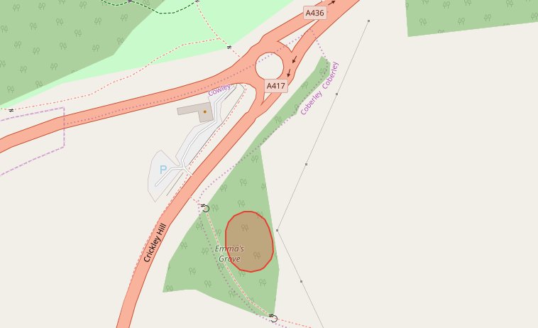
© OpenStreetMap Note the misplaced Crickley Hill road legend, it should be on the road to the north west.