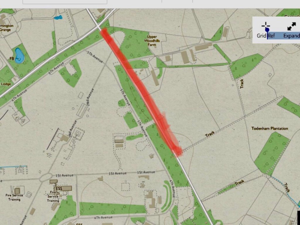
A page about the track outside the ex Airfield at Moreton-in-Marsh that is currently gated at the two points marked in yellow on the satellite photo below (courtesy of Google Maps).
Click for Moreton track link to google maps
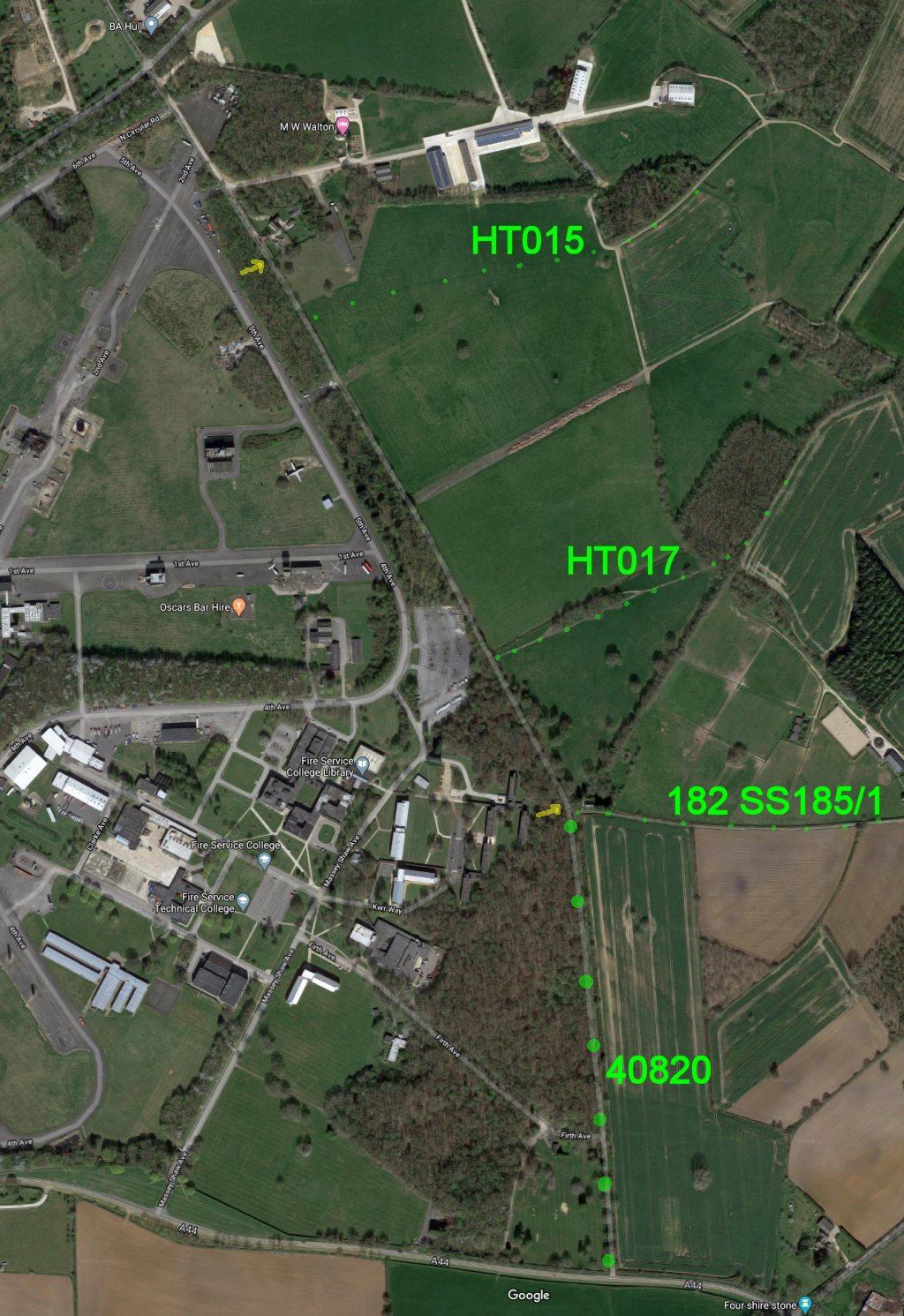
Added to the image with smal green dots are three footpaths that reach the track including HT015 and HT017. Warwickshire numbers the third path 182 SS185/1. Also shown with larger green dots is the ORPA Other Route of Public Access or Unclassified Road 40820.
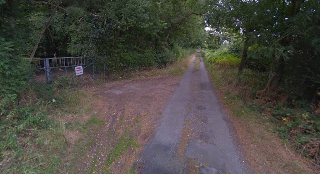
Here follows a description of the track from north to south beginning with the view looking south down the track from the Toddenham junction (Google Street view).

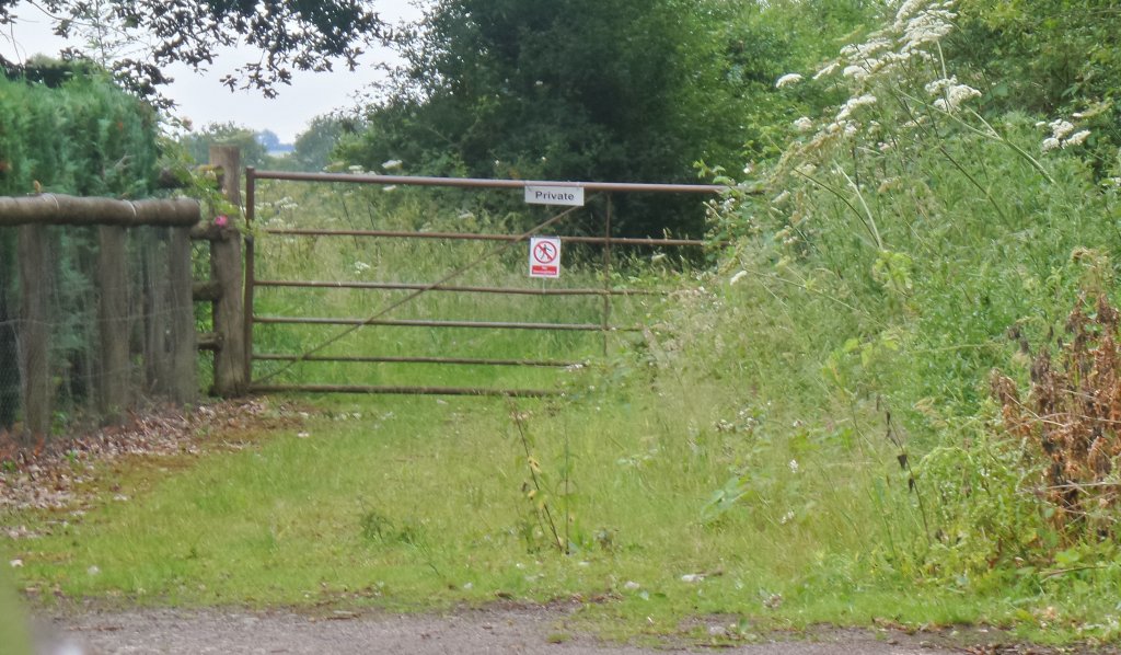
Below the gate at the northern yellow arrow has a sign saying No Pedestrians (looking south).
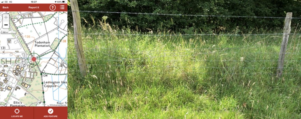
Below further South, looking west from the path HT015, as shown on PathWatch, access to the track from the field path is obstructed by barbed wire.
However just further south is a convenient double gate to the track.

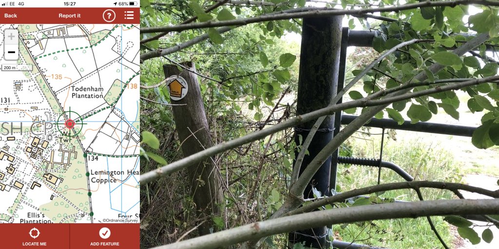
Below is the gate from the track through to HT017 (this time looking east) at the PathWatch location. The gate is passable but requires some vegetation clearance.
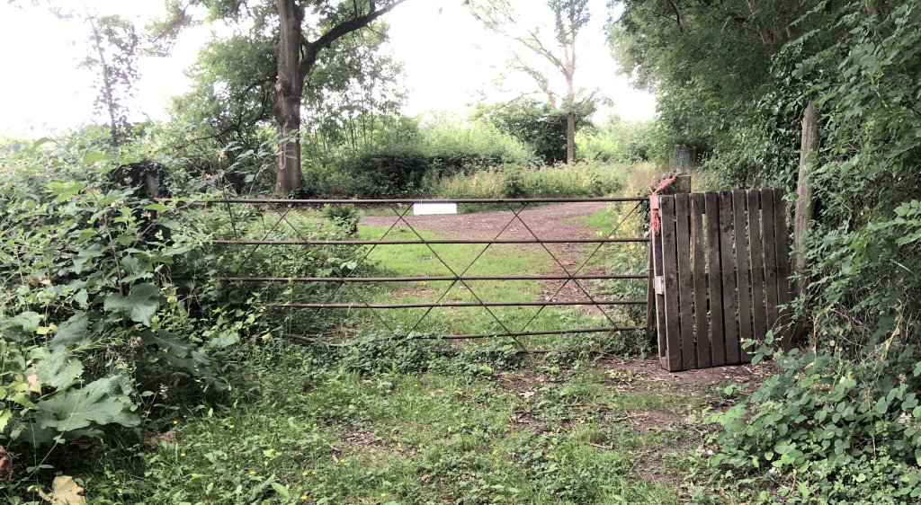
Below the gate at the southern yellow arrow (looking south) has a makeshift palette gate to allow pedestrians to complete their route.
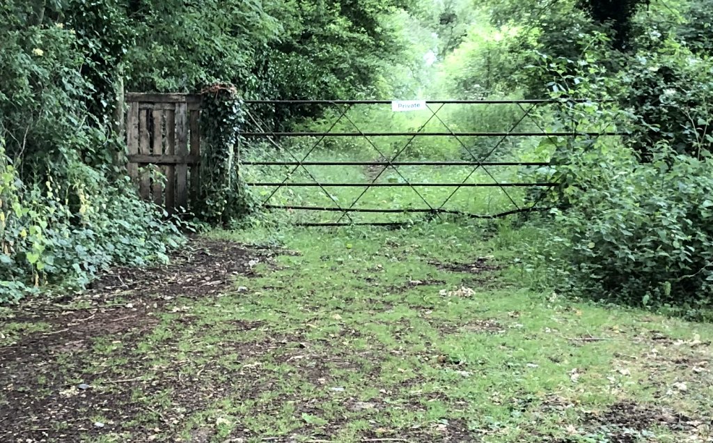
Here is the view looking north from the other side of the gate.
And here further south is a view looking north up the ORPA 40820.
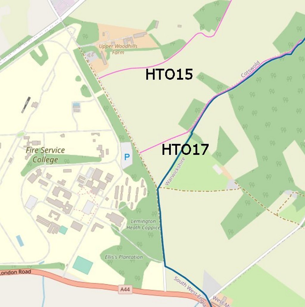
Below is the Gloucestershire County Council online version of the definitive map with the two path numbers appended. Note that the Open Street map base Map shows the track in brown dot dash.
Pink = GCC Footpath. Blue = County Boundary.
This map courtesy of Strava highlights paths and tracks accessible on foot – typically running and walking with the Strava App installed. It shows good use of the track, spread out usage of the double gate south of HT015 and good use of HT017.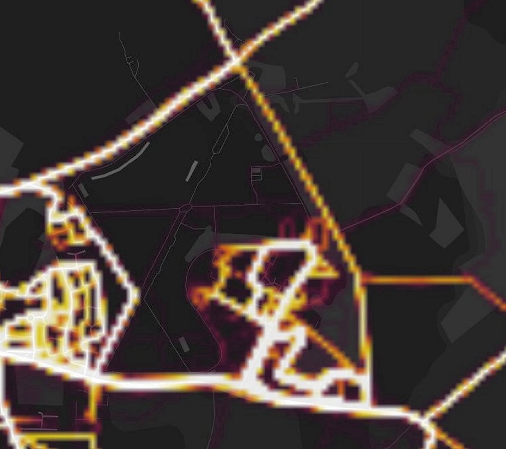
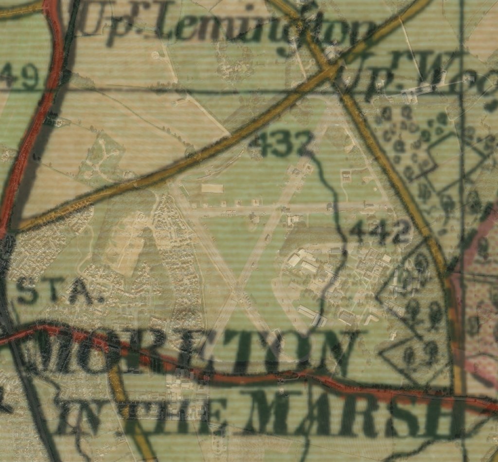
Below 1940-1947 Bartholomew map overlaid onto current satellite image courtesy of the National Library of Scotland. Bartholomew maps were typically used for cycle touring and show the availablity of the track.
This map is being issued to users of the track . It doesn’t show any Public Rights of Way but the claim is that the path shown in orange is private.